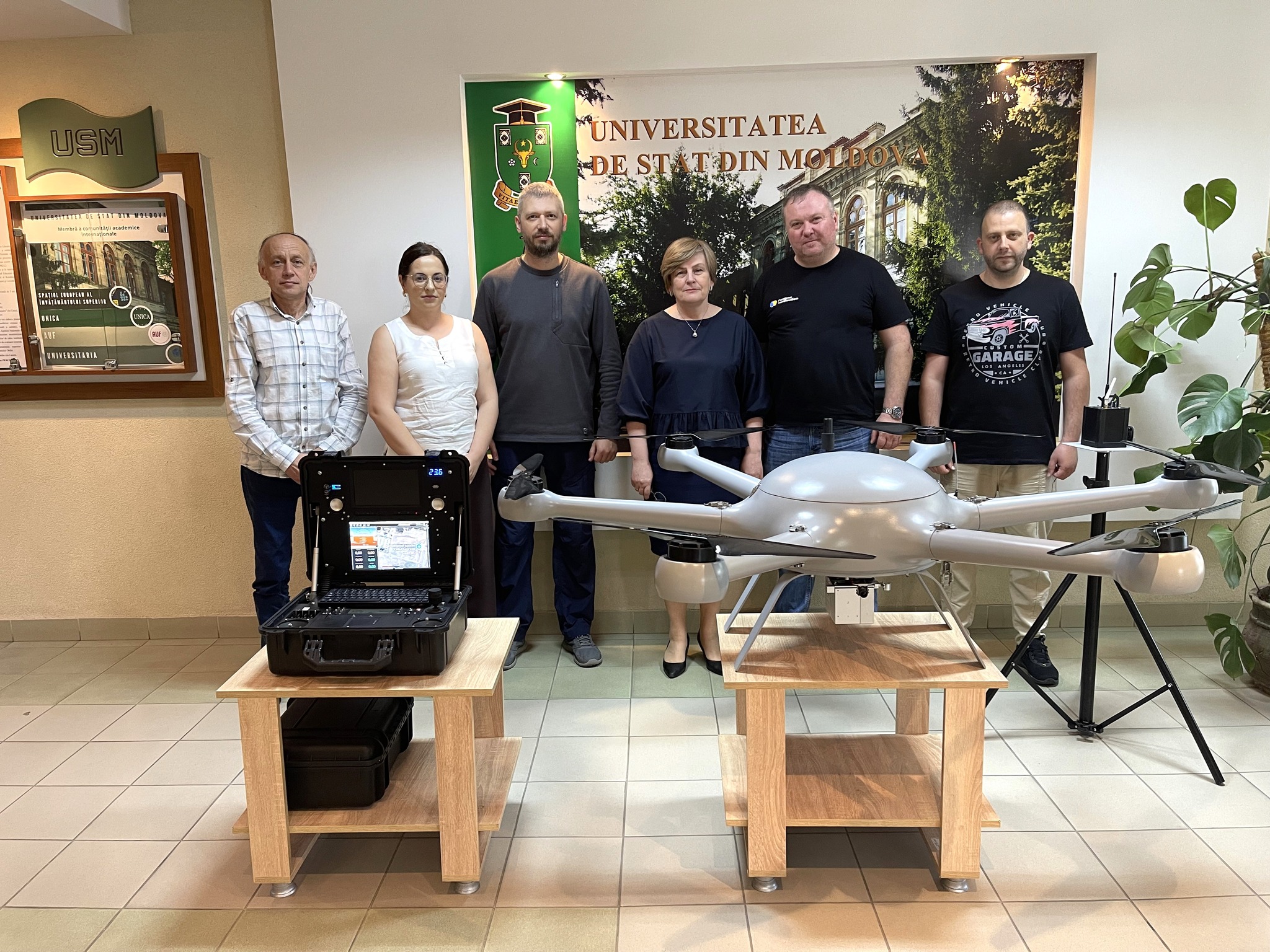
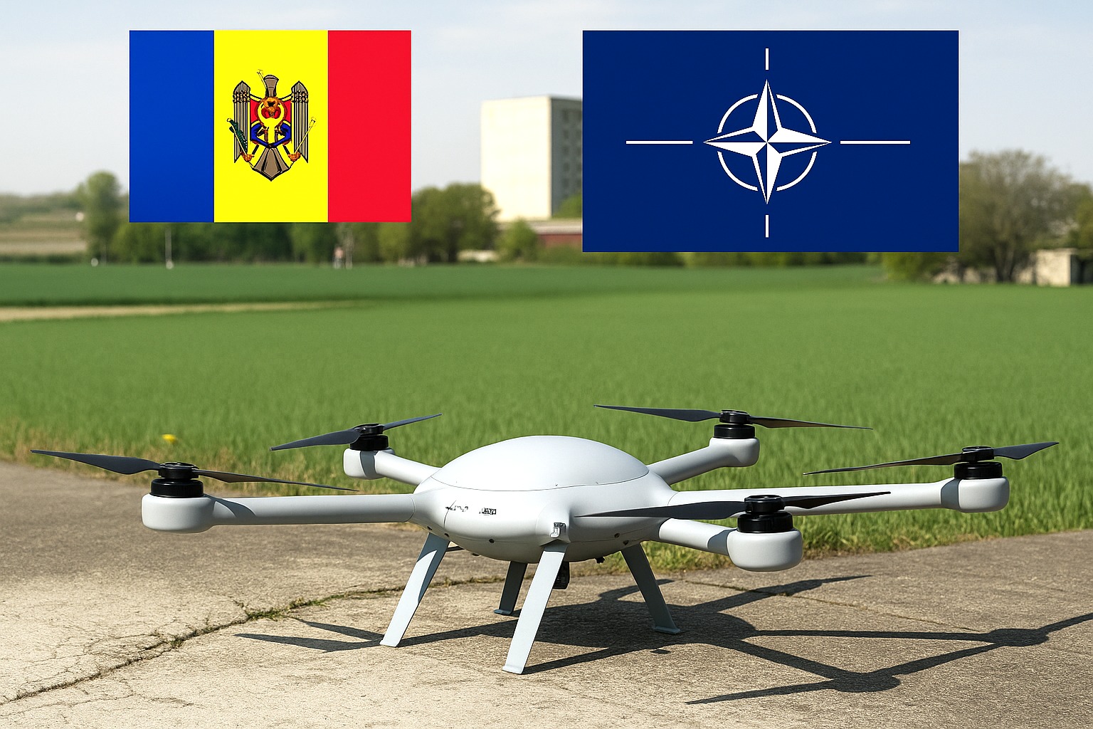
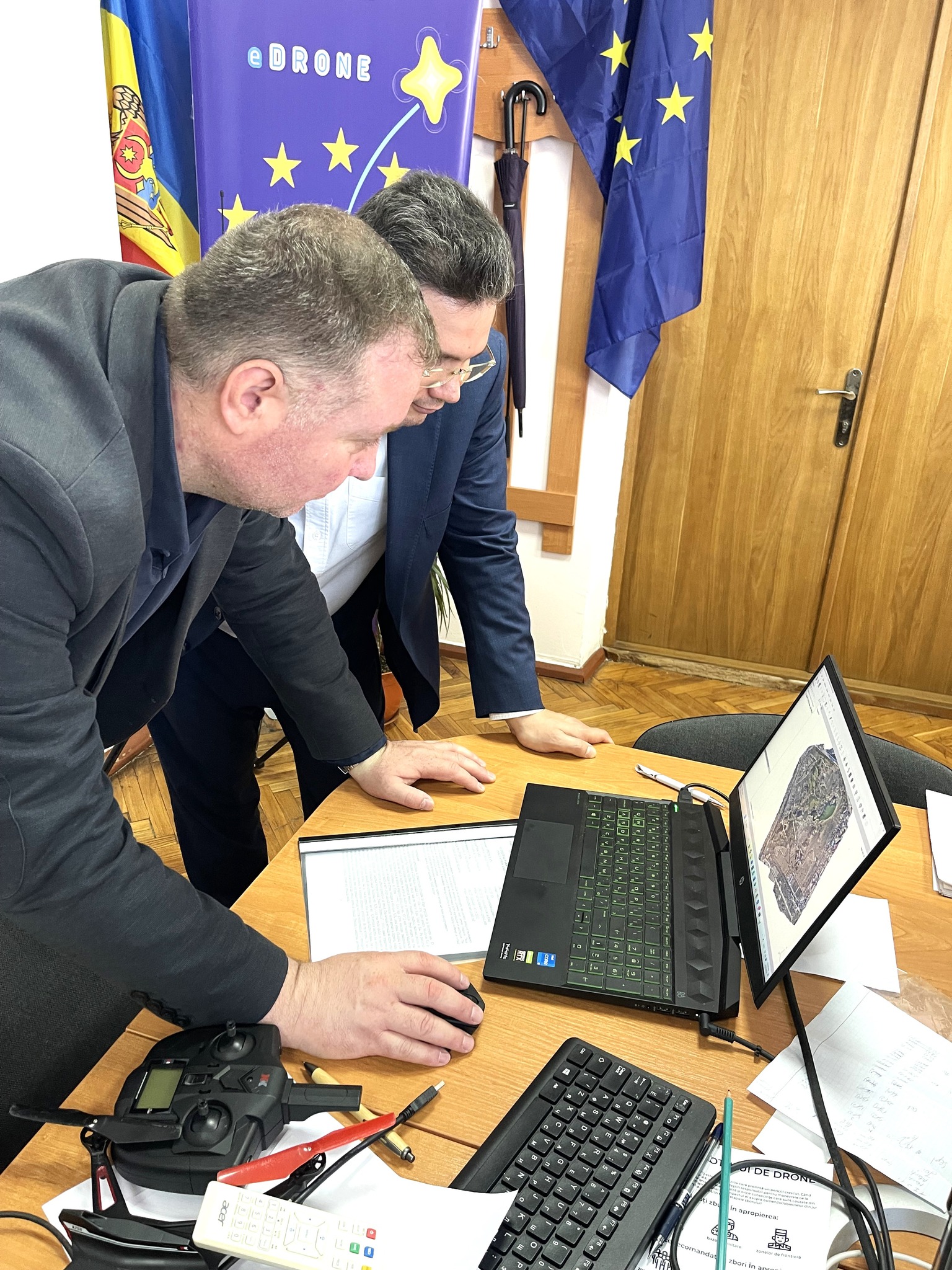
Research laboratory “Environmental Physics and Modeling Complex Systems (ePhysMCS Lab)” of the Moldova State University (MSU) has acquired an advanced UAV-based LiDAR system in the NATO Science for Peace and Security (SPS) project “Advanced Technologies for Physical ResIlience Of cRitical Infrastructures (APRIORI, SPS G6140, https://aprioriproject.eu).
MSU ePhysMCS Lab has come into the possession of a high-performance drone equipped with an advanced LiDAR system, as part of the NATO SPS G6140 APRIORI project co-directed by Assoc.Prof. Dr. Veaceslav Sprincean and implemented during 2023-2026 at the Moldova State University.
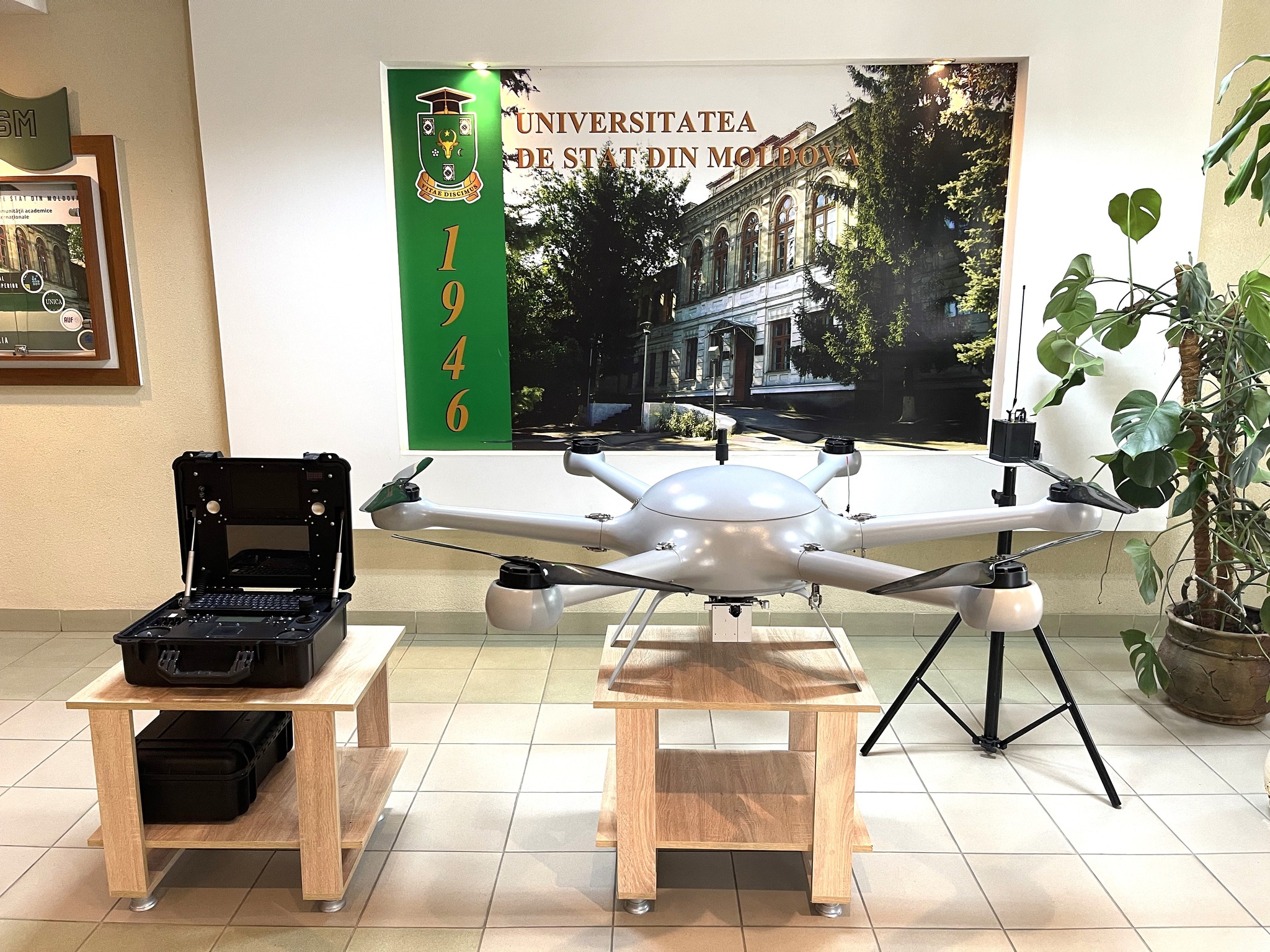
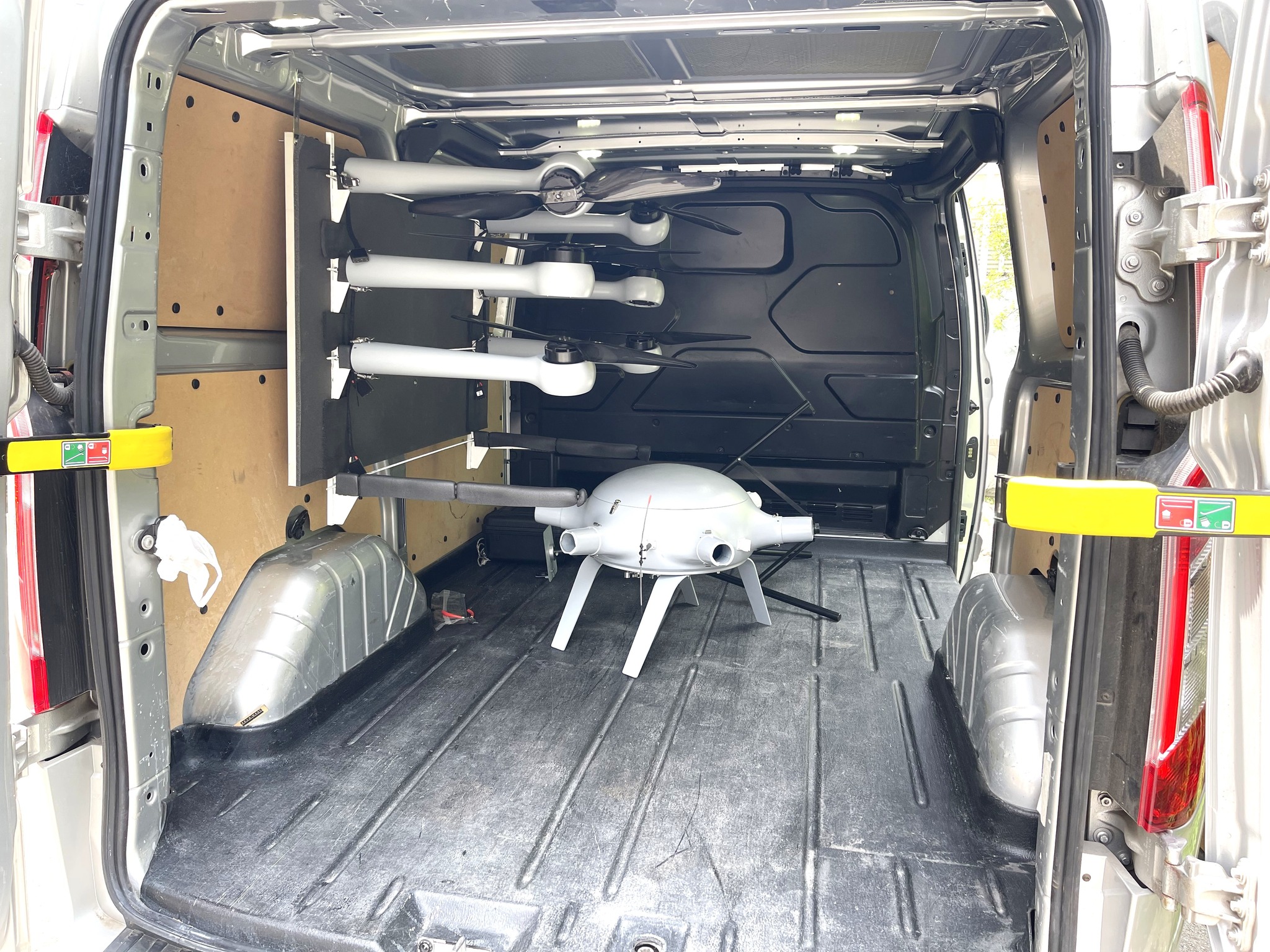
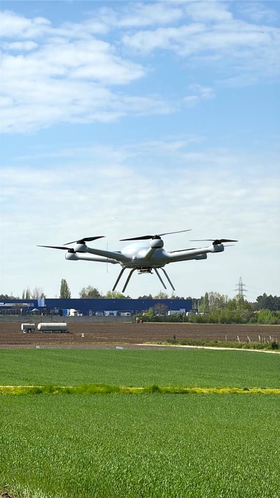
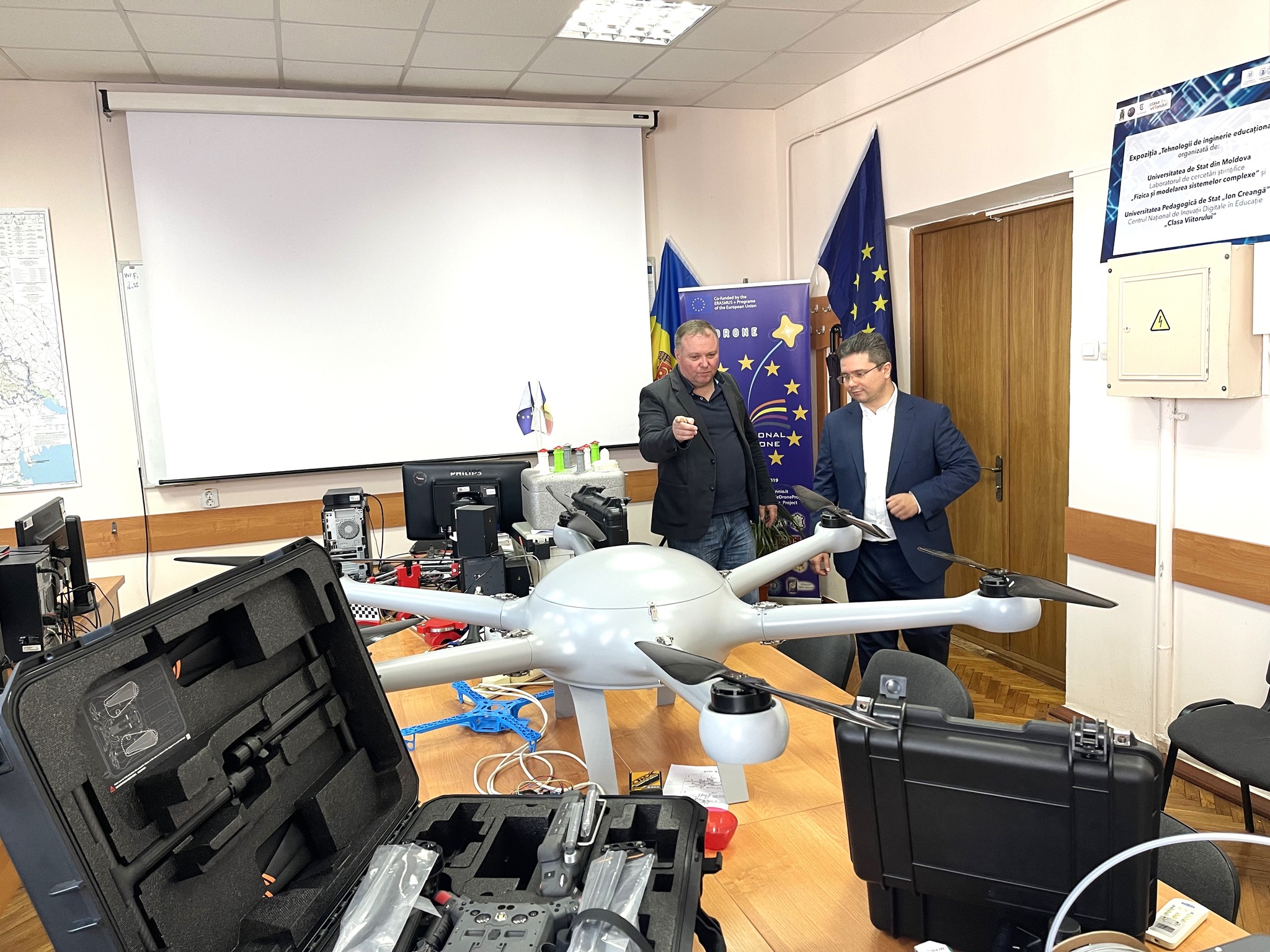
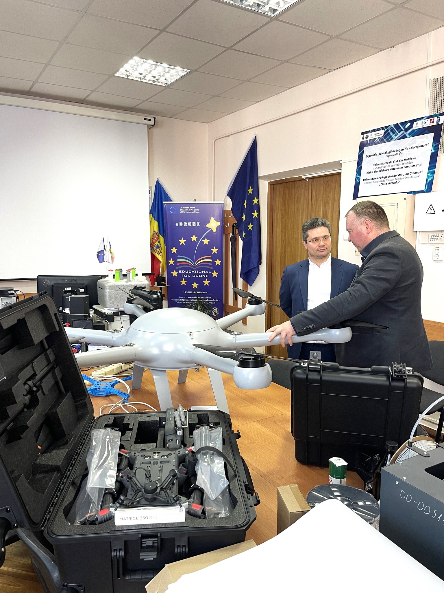
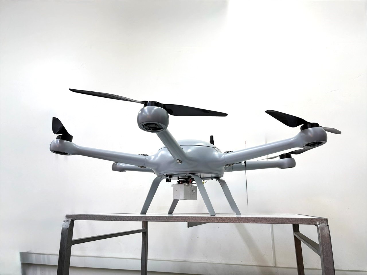
The drone operates on electric batteries with a period of flight up to 45 minutes (with a payload) and can transport equipment with an operational weight of 27 kg, the maximum weight of take-off being up to 50 kg. The drone control is done through an advanced system that allows monitoring its position and image processing in real time. The drone can be manually piloted, assisted or fully autonomous within a range of about 50 km. The drone is incorporated with a Geosun GS 100C LiDAR system, which is a complete and compact air LiDAR solution specially designed for UAV integration. Equipped with Livox Avia sensor, this system offers a detection ray of up to 450 meters, multiple returns and an accuracy of up to 10–15 cm at average flight altitudes. With a high precision GNSS/IMU and an integrated 26 MP camera, Geosun GS 100C allows the simultaneous processing of LiDAR data and georeferential images, being ideal for mapping, topography, infrastructure inspection and 3D modeling. The drone is built to operate under difficult weather conditions such as winds up to 12 m/s and temperatures between -20 ° C and +55 ° C.
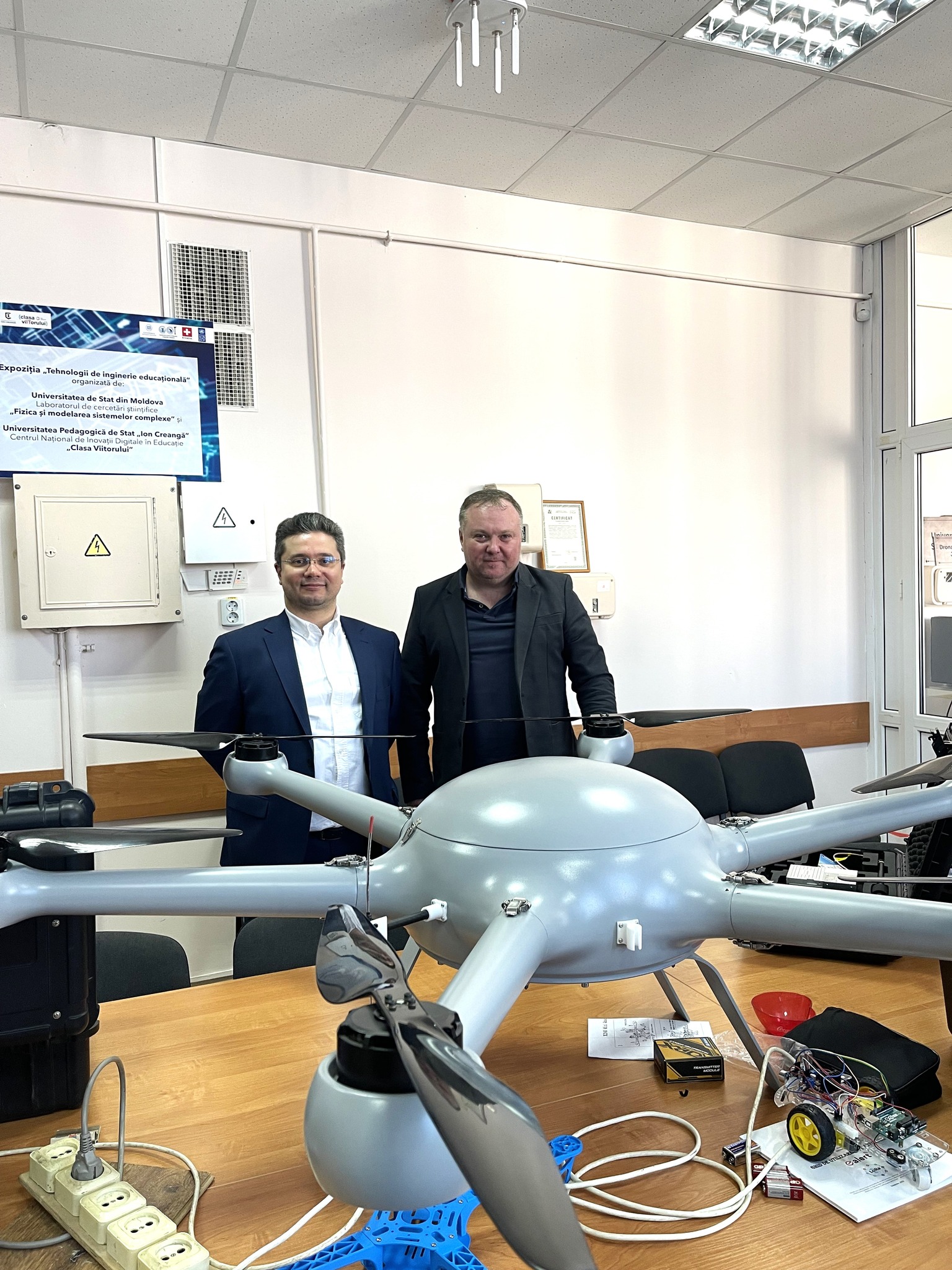
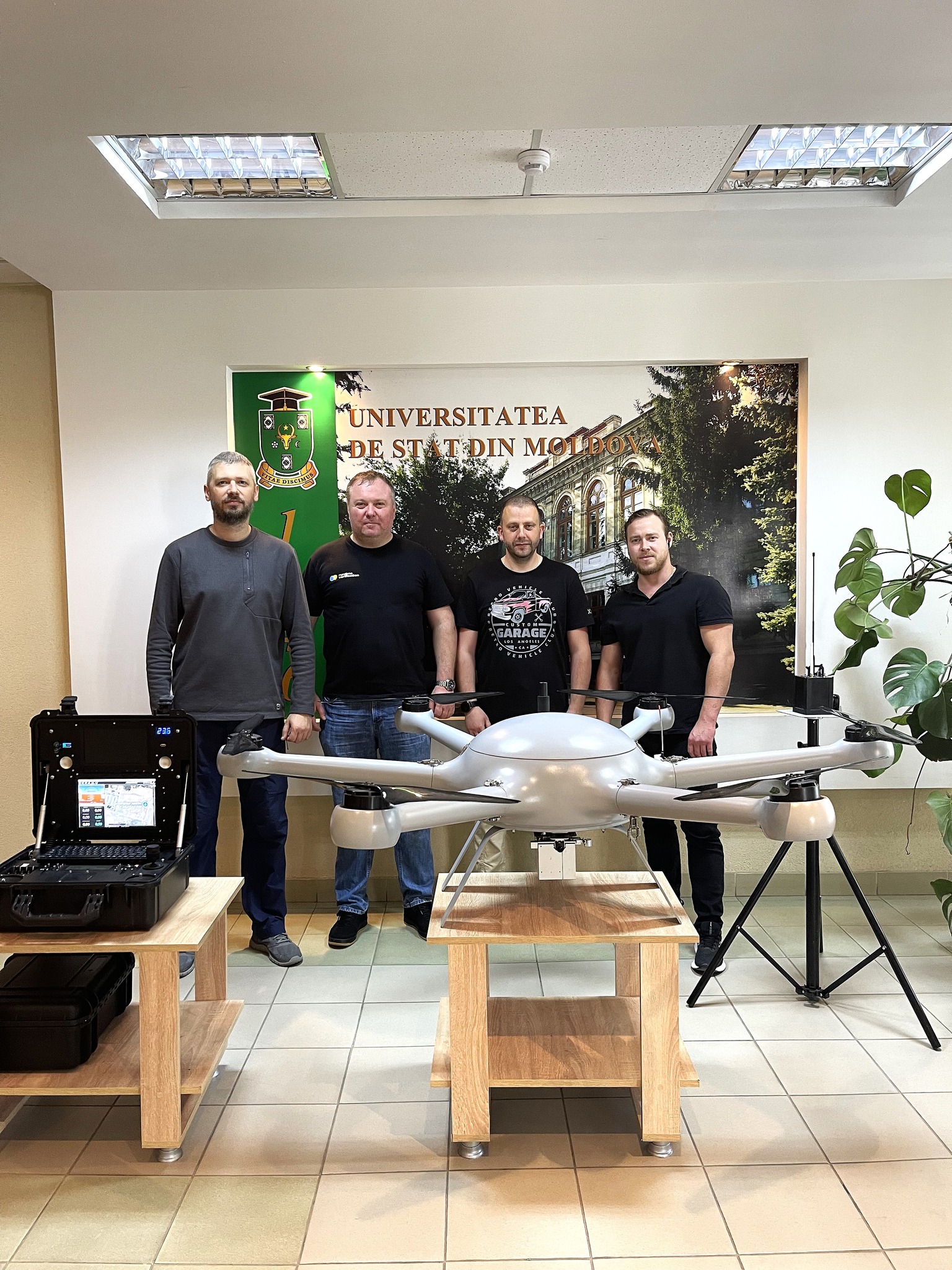
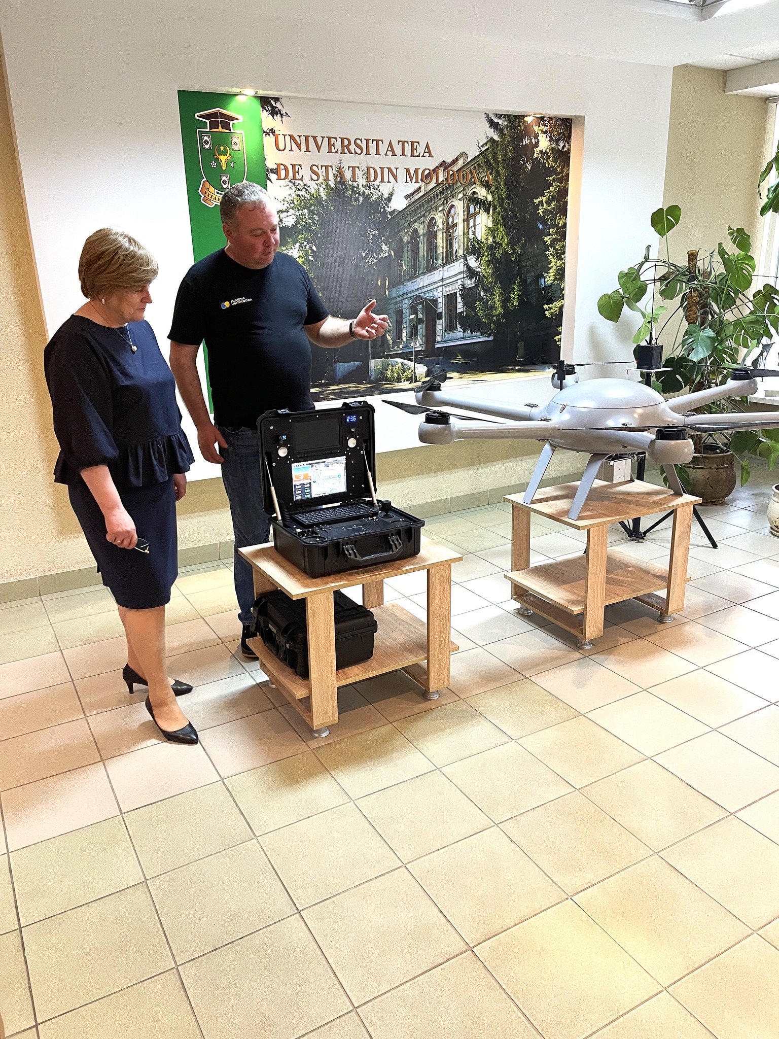
Photogallery